Description >>
Guangzhou South Axis
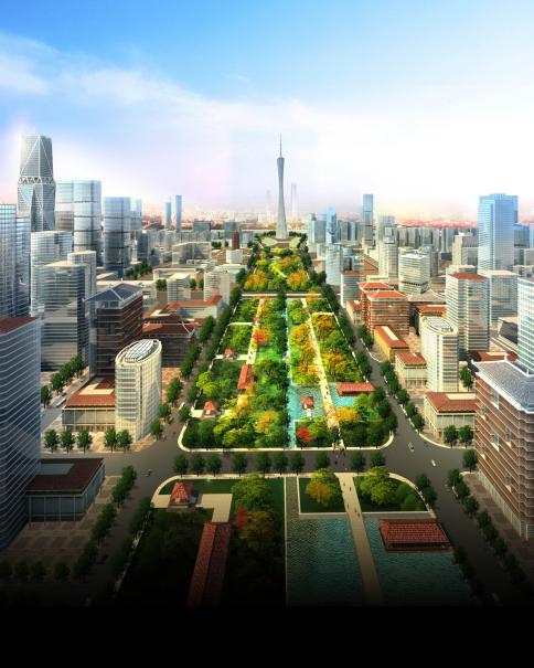
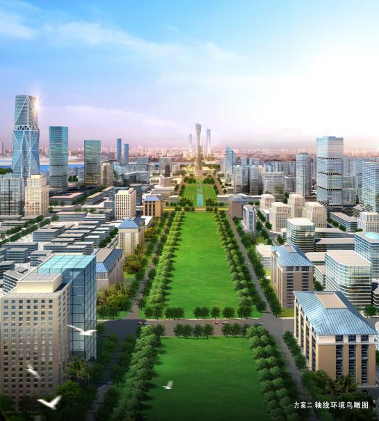
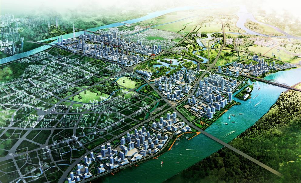
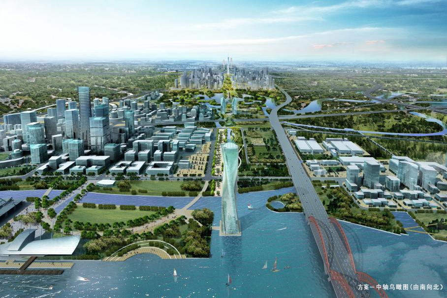
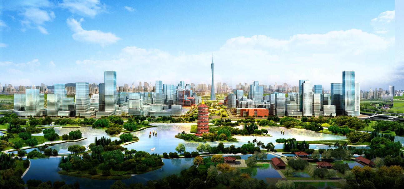
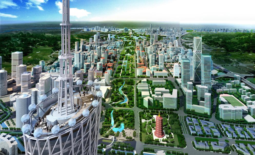
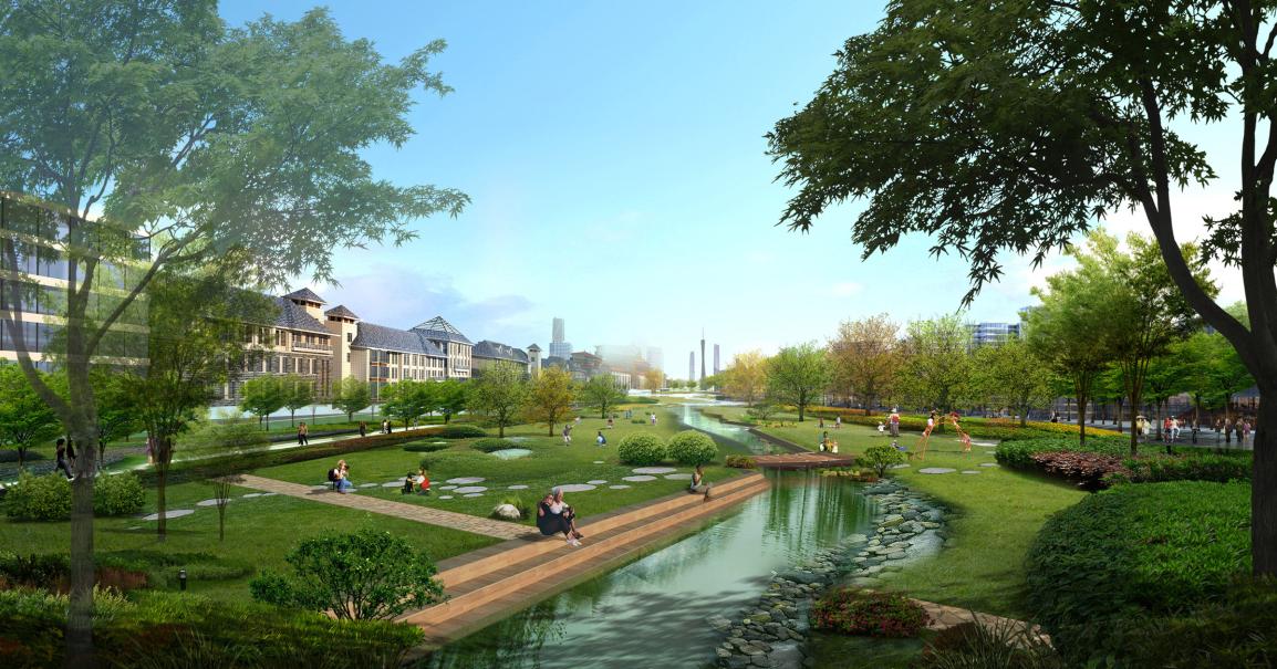
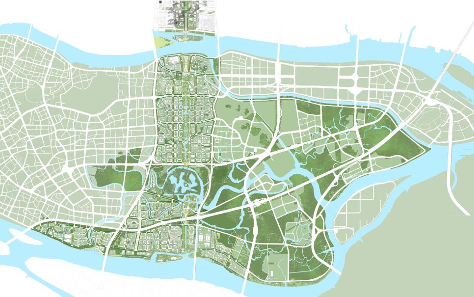
This 15.5-square-mile comprehensive urban master plan redesigns Guangzhou’s southern city center. Its purpose is threefold – to identify and assimilate developments, historic buildings, and infrastructure worth retaining; to develop a cohesive core plan that clearly defines open spaces, waterways, and pedestrian, vehicular and transit circulation patterns; and to provide a visionary framework for future urban development.
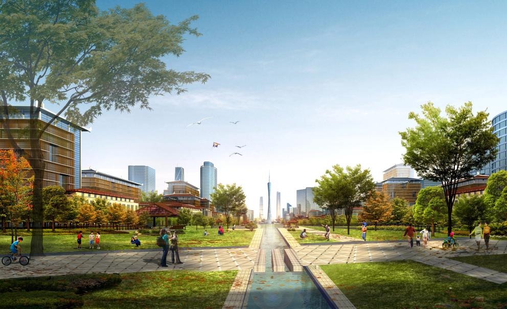
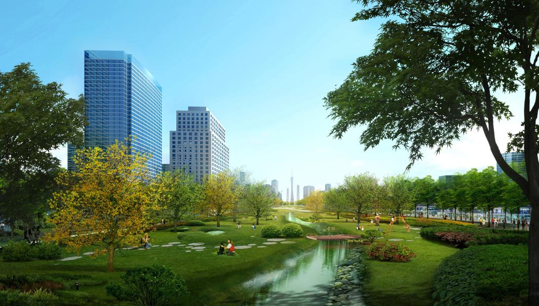
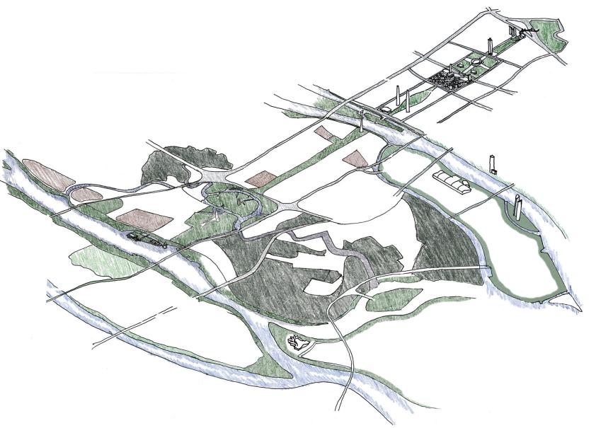
This plan incorporates waterfront and transit-oriented development with a ferry terminal, central government districts, and a variety of urban land uses. An inverted T-shaped greenbelt axis serves as the key concept for the master plan, creating an eco corridor between the TV tower on the north end and the Pearl River on the south end, and connections to an east-west axis, all culminating in a major Pearl River waterfront. In addition, special attention was given to the plan’s integration of traditional Lingnan culture in the design. The final master plan will be implemented between 2011 and 2025, with an estimated final construction cost of 112.8 billion RMB.
Project / Address
Guangzhou South Axis
Guangzhou, China

